| 20" × 16" (500 pcs) | 10" × 8" (120 pcs) | 14" × 11" (252 pcs) |
| Width, in | 20.00 | 10.00 | 14.00 |
| Height, in | 16.00 | 8.00 | 11.00 |
This one's a genuine piece of travel history. Published by the Compagnie Générale Transatlantique, the storied French shipping line better known as "French Line," this map traces its ocean liner routes across the Atlantic, from New York and Vancouver to ports throughout Europe, Africa, and the Caribbean. Illustrated borders frame the whole thing with scenes of the places these ships connected, cowboys and Native American riders in North America, Dutch windmills, Mediterranean architecture, African markets, all rendered in that bold, flat mid-century poster style.
It's a wonderful puzzle for map lovers, travel nostalgia, or anyone who appreciates the graphic design of vintage advertising. The larger sizes let the fine print, the tiny illustrated vignettes, and the looping red shipping routes really come through.
Product features
- Choose 120, 252, or 500 chipboard pieces
- High-quality sublimated print with vibrant, glossy colors
- 100% chipboard pieces and 100% paper gift-ready box
- Finished artwork shown on the box for easy reference
- Recommended for ages 9+, packaged in a compact paper box
Care instructions
- Wipe the dirt or dust off gently with a clean, dry microfiber cloth.
| 20" × 16" (500 pcs) | 10" × 8" (120 pcs) | 14" × 11" (252 pcs) |
| Width, in | 20.00 | 10.00 | 14.00 |
| Height, in | 16.00 | 8.00 | 11.00 |
This one's a genuine piece of travel history. Published by the Compagnie Générale Transatlantique, the storied French shipping line better known as "French Line," this map traces its ocean liner routes across the Atlantic, from New York and Vancouver to ports throughout Europe, Africa, and the Caribbean. Illustrated borders frame the whole thing with scenes of the places these ships connected, cowboys and Native American riders in North America, Dutch windmills, Mediterranean architecture, African markets, all rendered in that bold, flat mid-century poster style.
It's a wonderful puzzle for map lovers, travel nostalgia, or anyone who appreciates the graphic design of vintage advertising. The larger sizes let the fine print, the tiny illustrated vignettes, and the looping red shipping routes really come through.
Product features
- Choose 120, 252, or 500 chipboard pieces
- High-quality sublimated print with vibrant, glossy colors
- 100% chipboard pieces and 100% paper gift-ready box
- Finished artwork shown on the box for easy reference
- Recommended for ages 9+, packaged in a compact paper box
Care instructions
- Wipe the dirt or dust off gently with a clean, dry microfiber cloth.

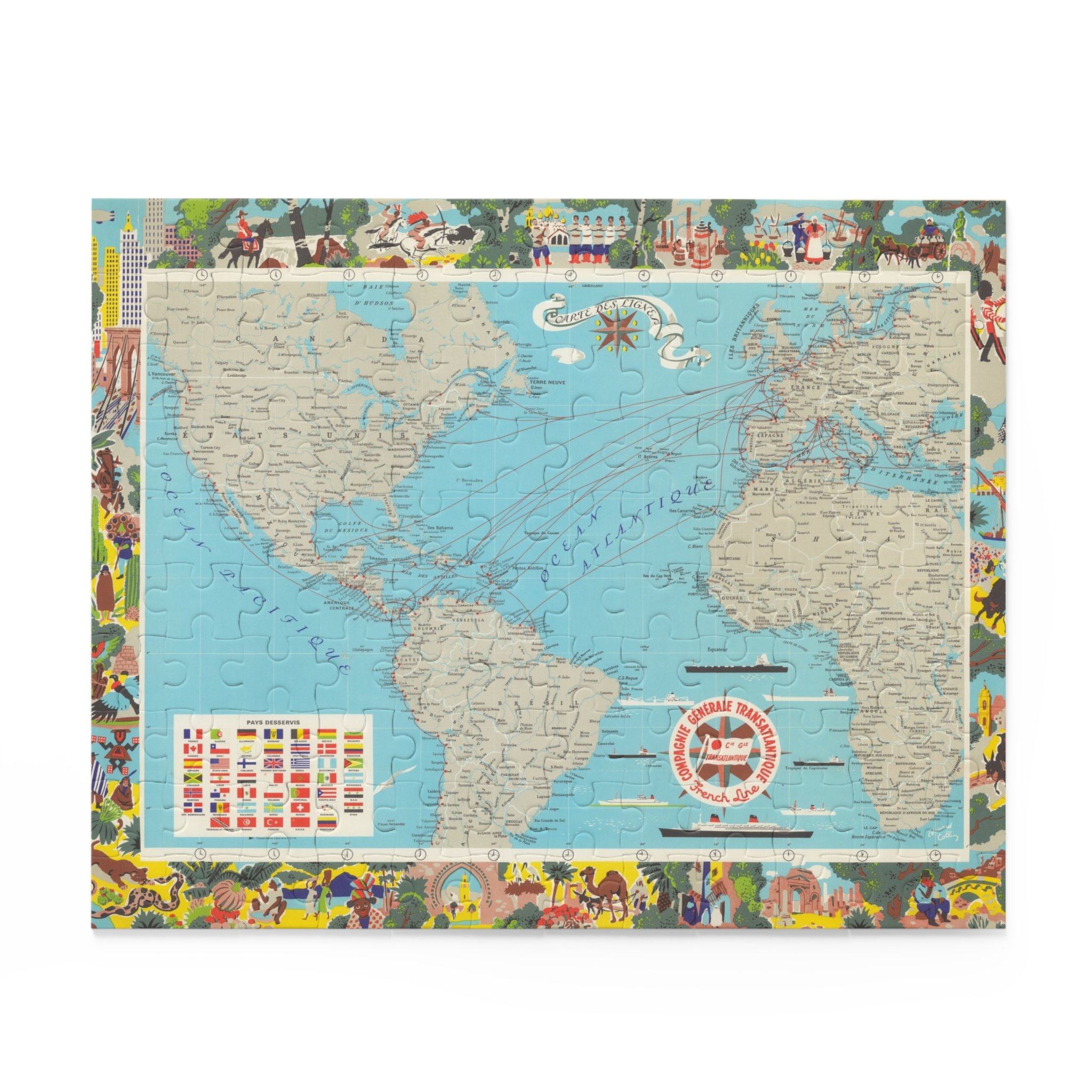 Image 1 of 12
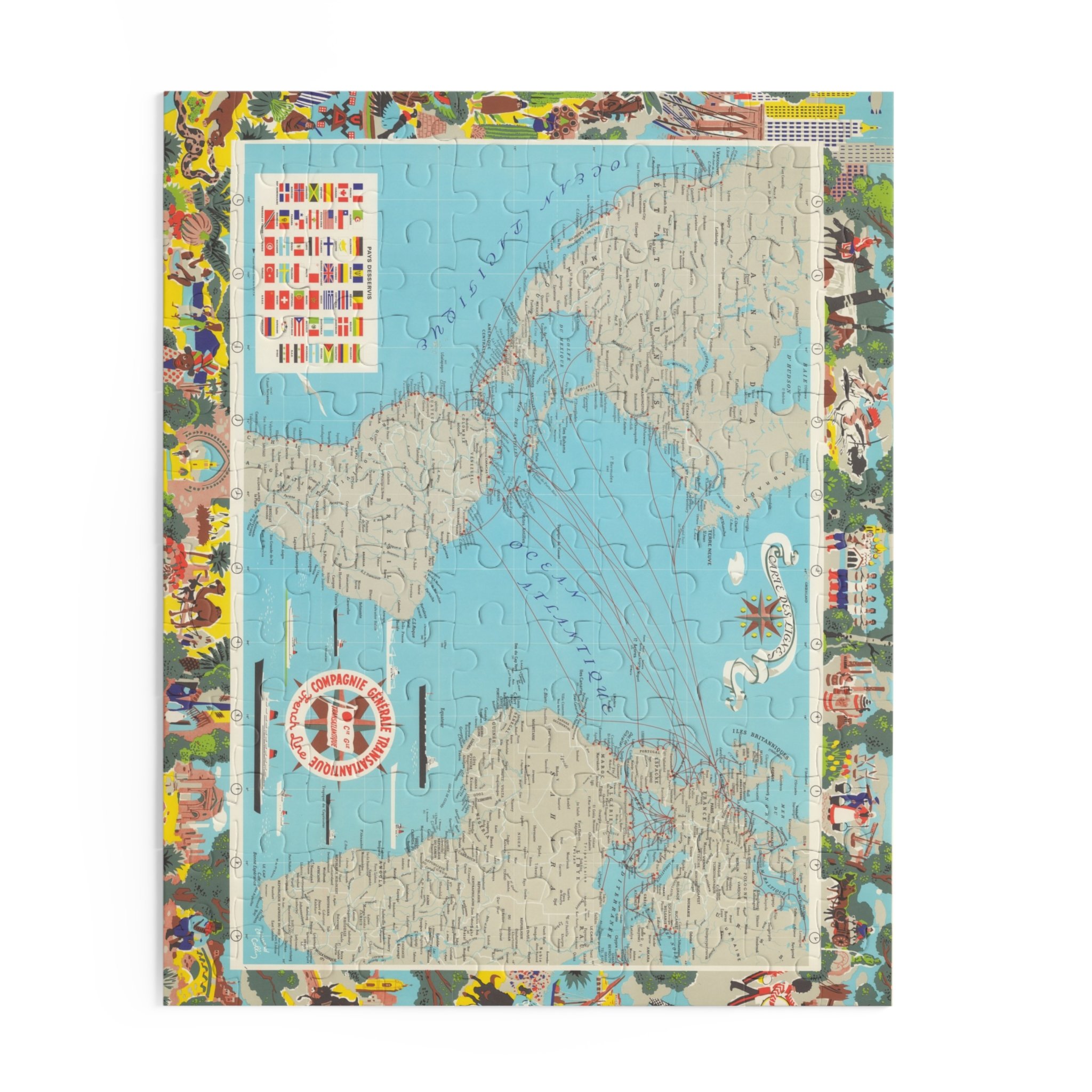 Image 2 of 12
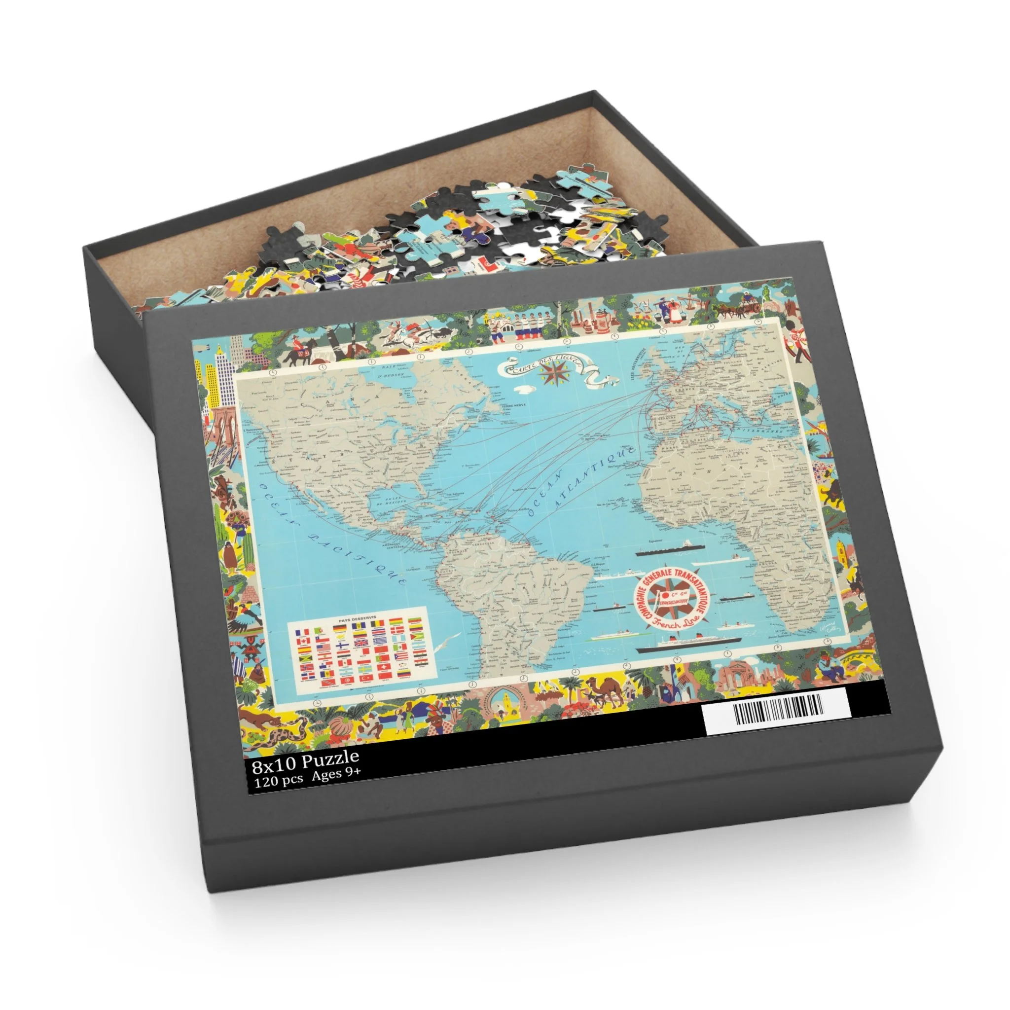 Image 3 of 12
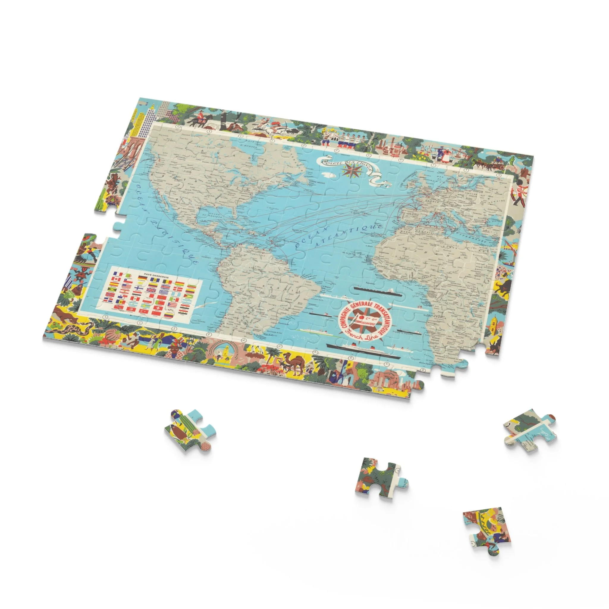 Image 4 of 12
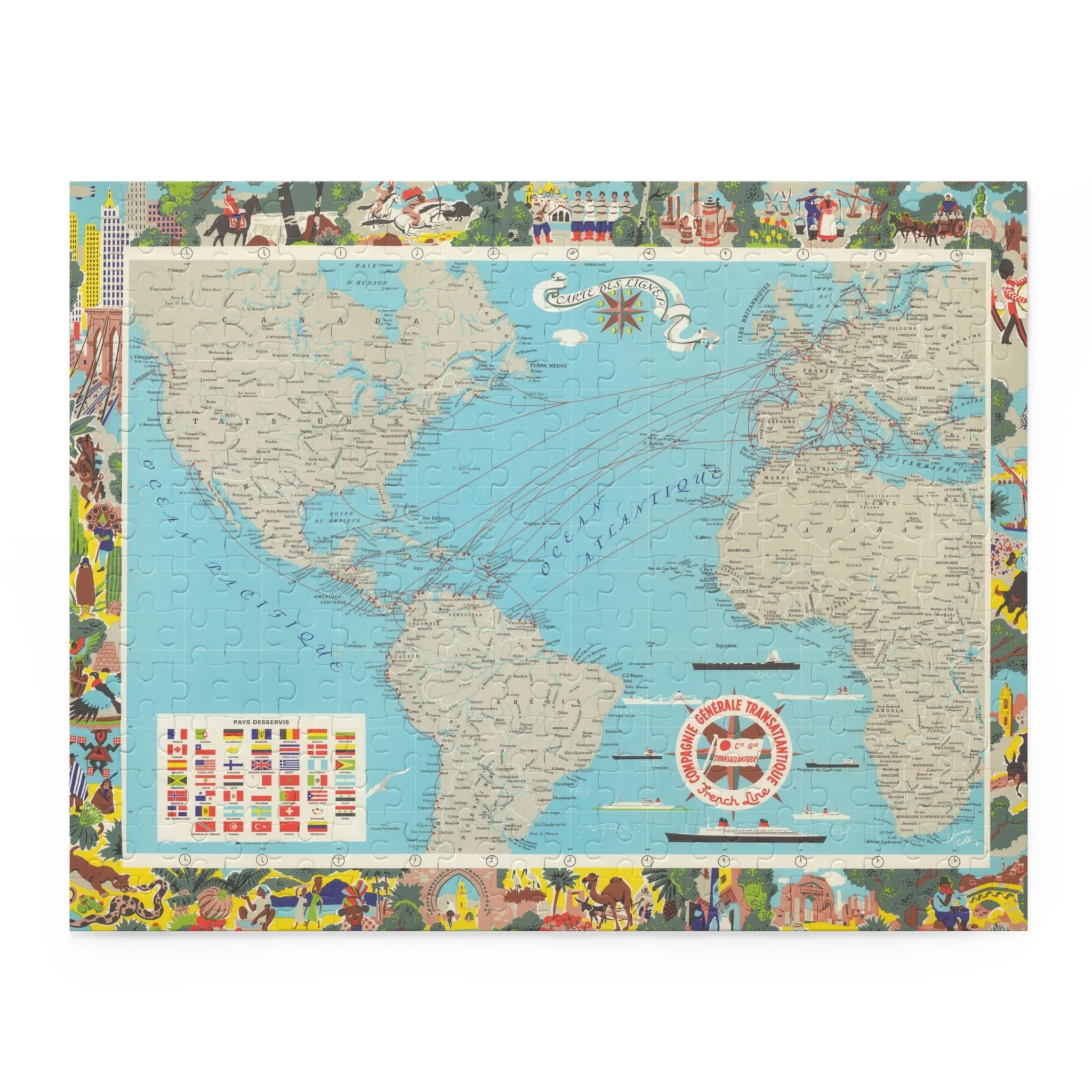 Image 5 of 12
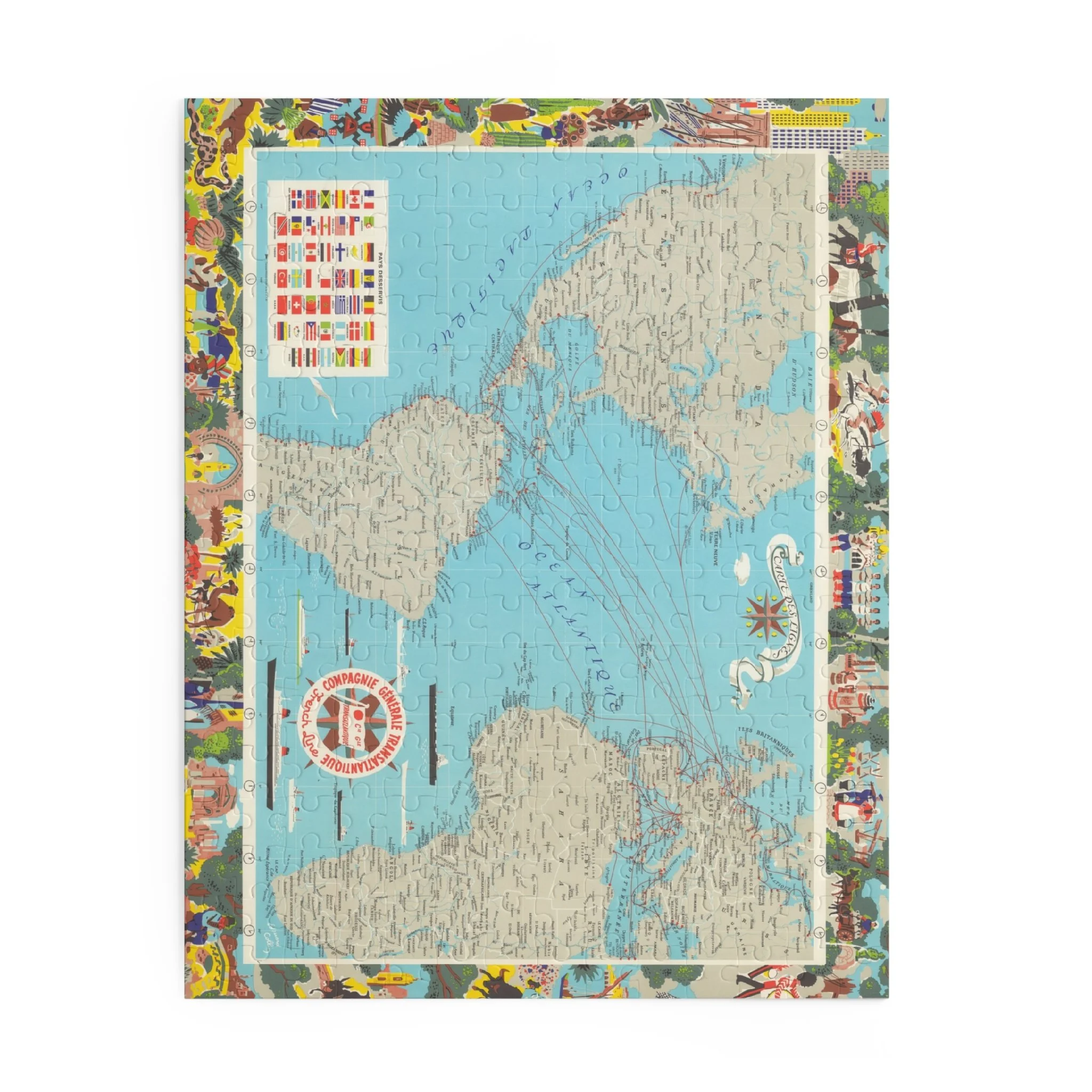 Image 6 of 12
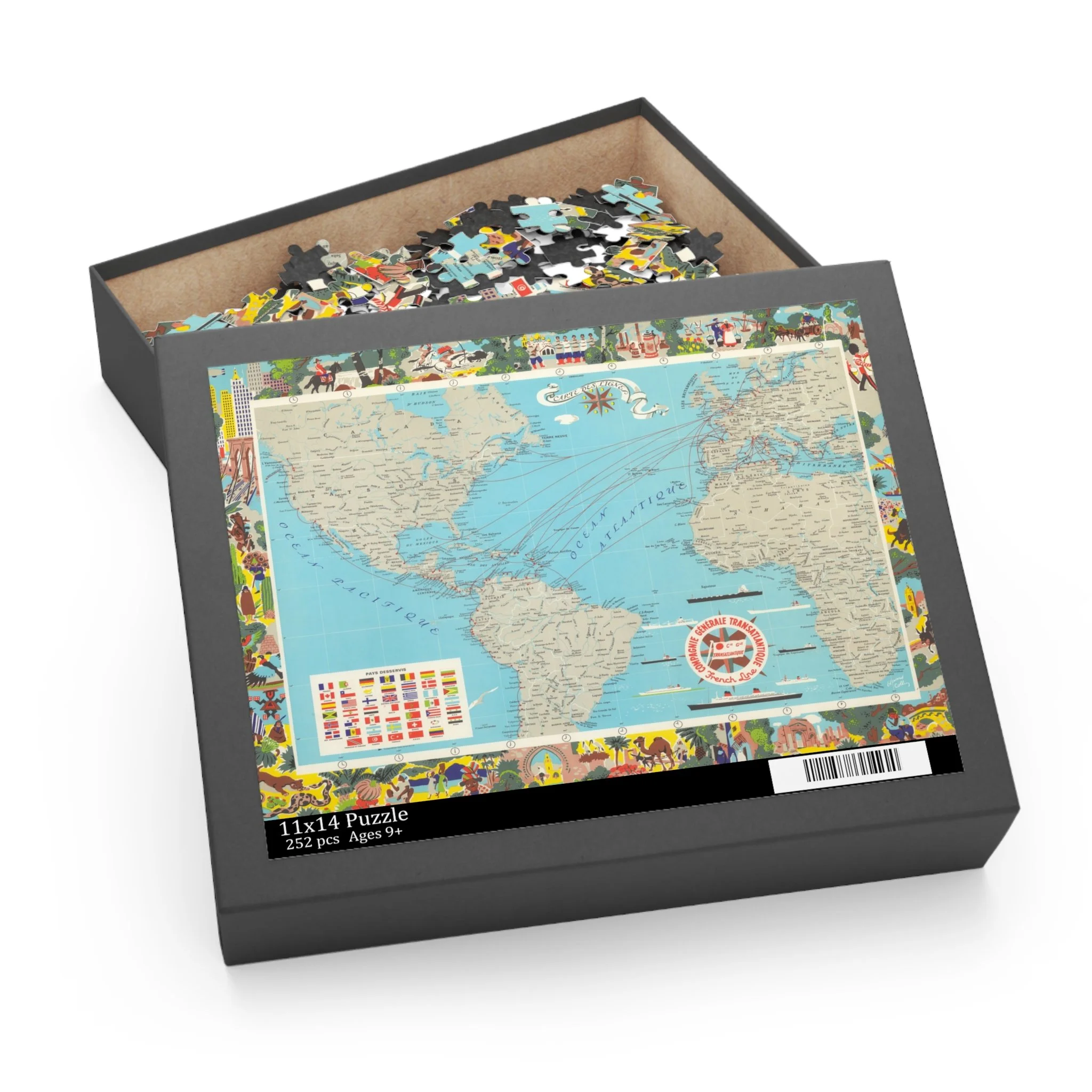 Image 7 of 12
 Image 8 of 12
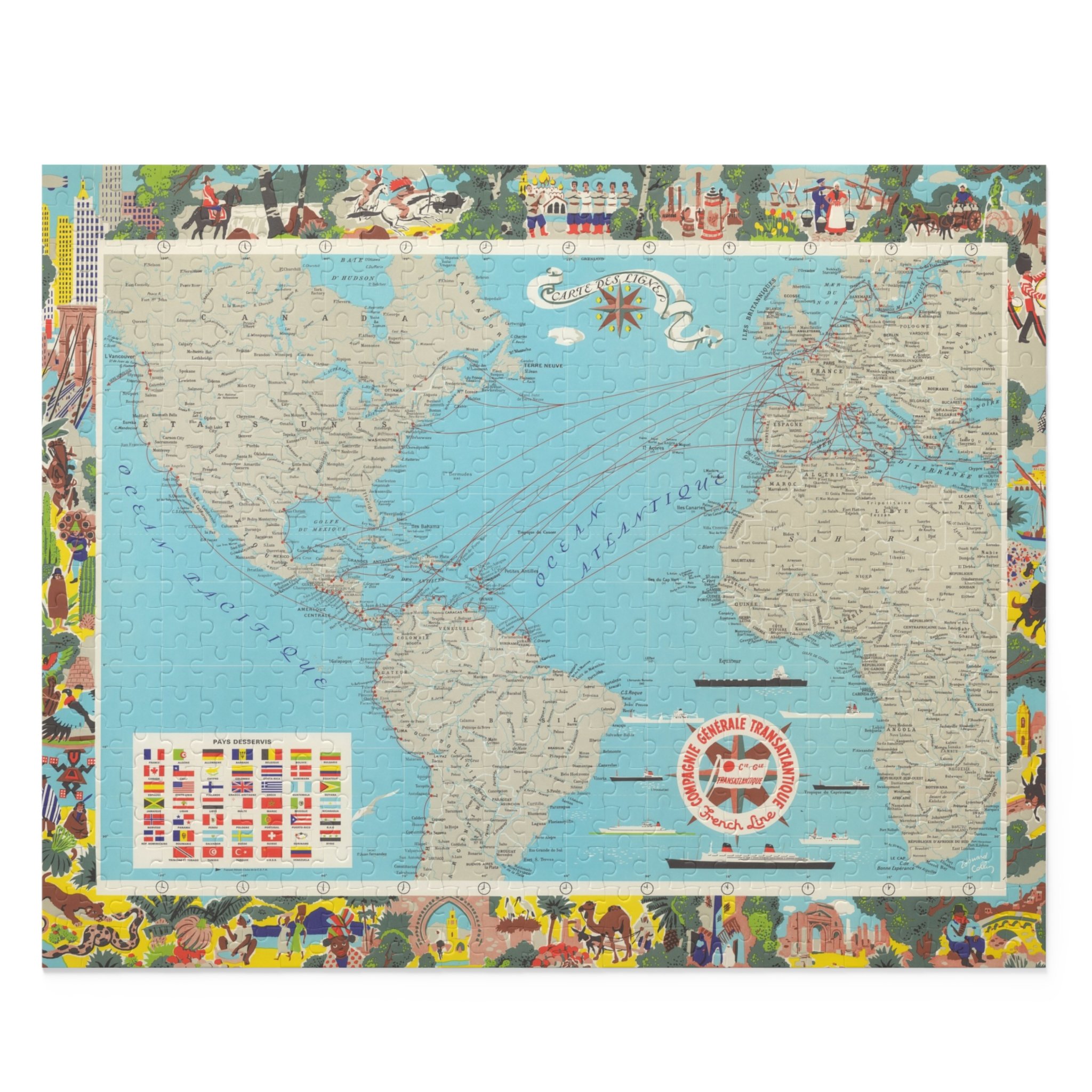 Image 9 of 12
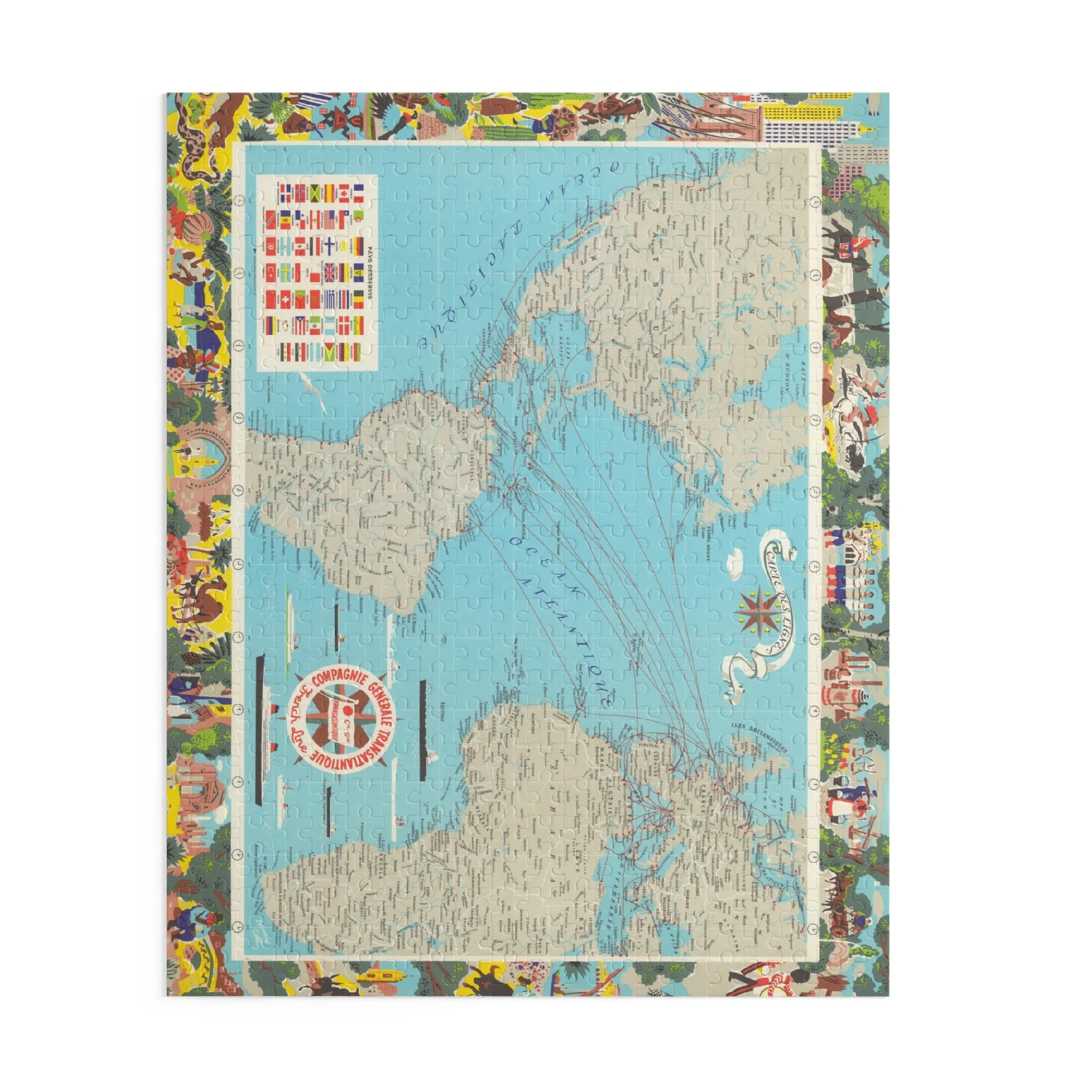 Image 10 of 12
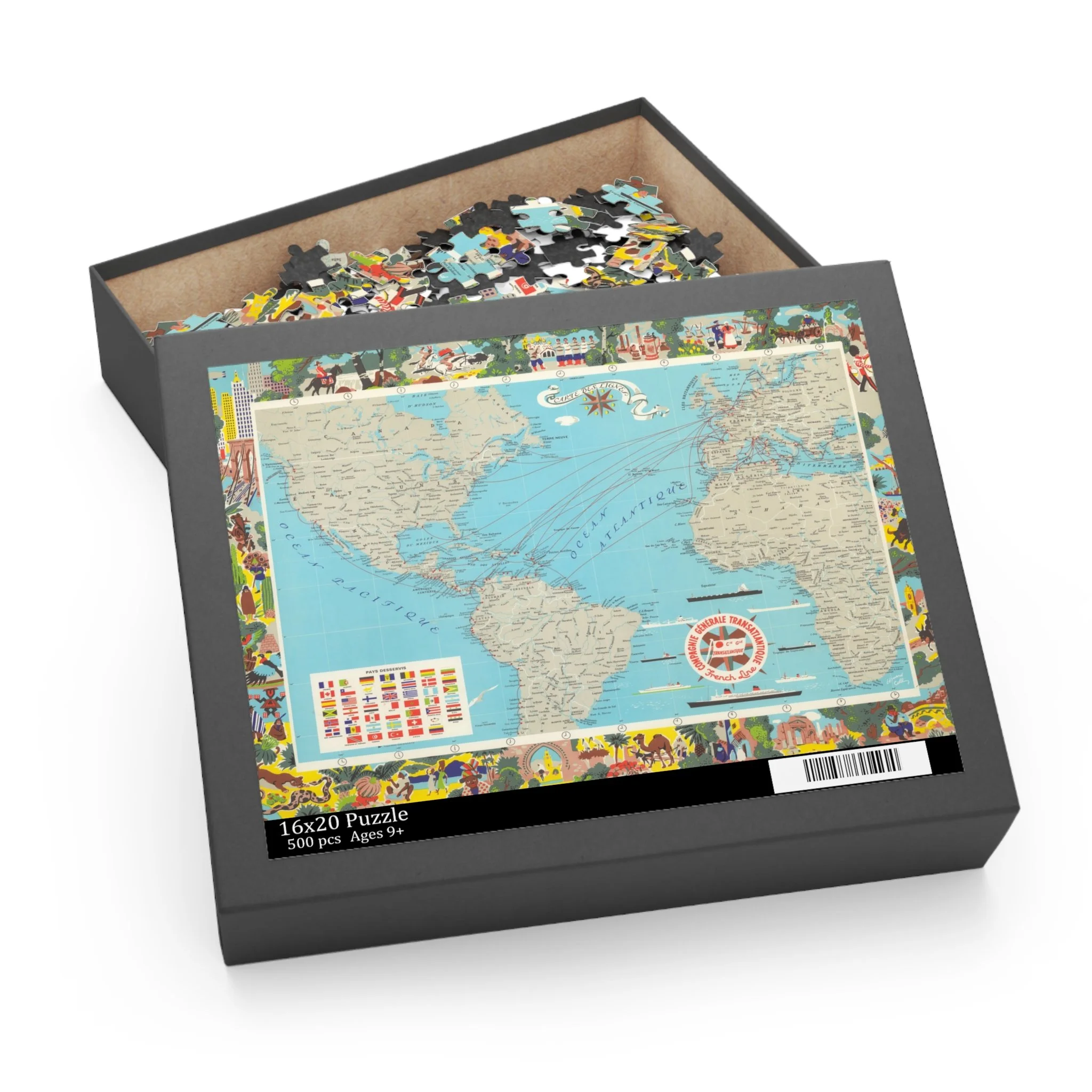 Image 11 of 12
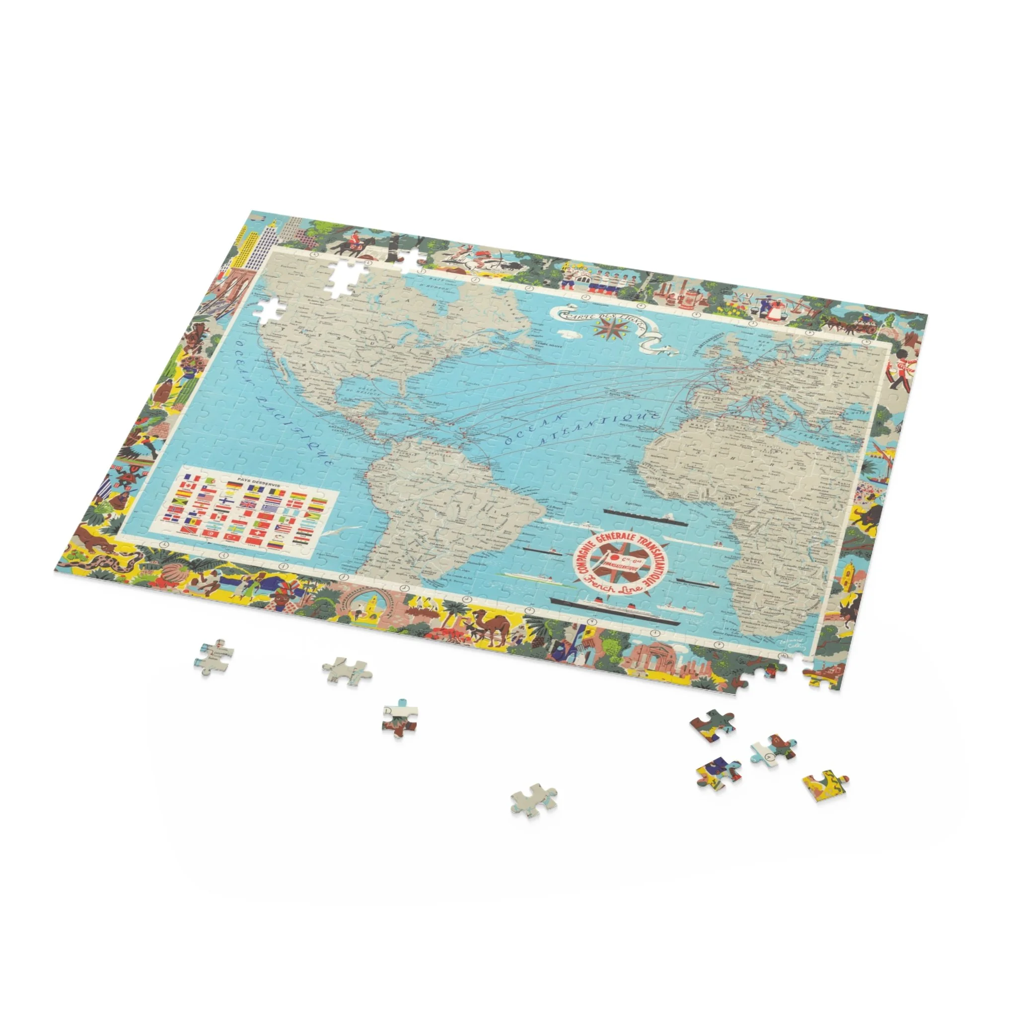 Image 12 of 12